Latitude or Longitude First? A Coordinate Habit That Prevents Misplaced Pins
This article was translated from its source language with AI assistance. Please check technical terms and equations against the original.
You copy two coordinates, but the map shows somewhere entirely different. The numbers might be right while their order, signs, or units were interpreted differently. Latitude and longitude are a language for location, and programs can require different input formats. Before sharing a place, stop treating the two numbers as an unnamed pair.
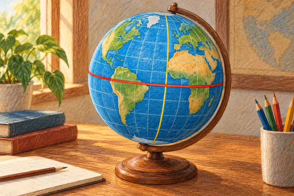
1. Latitude is north–south; longitude is east–west
Latitude expresses angular position north or south of the equator; longitude expresses position east or west of a reference meridian. NOAA's latitude explanation and longitude explanation describe their reference lines. Latitude reaches 90 degrees at either pole, while longitude can extend to 180 degrees east or west.
In the usual signed convention, north and east are positive, south and west negative. Some datasets instead provide longitude in a 0–360 degree system, so check documentation. For an invented input exercise, use latitude 37.5 and longitude 126.9. Putting 126.9 in the latitude field exceeds its range and immediately suggests an order error.
2. The order is not always latitude, longitude
Many human-facing map search boxes use latitude then longitude, but not every format does. A GeoJSON position array uses longitude then latitude, as specified in RFC 7946's position definition. The exercise therefore becomes [126.9, 37.5] in that format. The location remains the same when its representation is adapted to the format's rules.
Instead of sending only “37.5, 126.9,” write “latitude 37.5 degrees, longitude 126.9 degrees.” Give file columns meaningful names such as latitude and longitude, and follow each API's required order. When both numbers lie within 90 degrees, reversing them may pass range checks, so also verify the resulting place on a map.
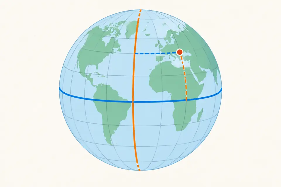
3. Converting degrees, minutes, and seconds
One degree contains 60 minutes; one minute contains 60 seconds. A positive angle in decimal degrees is degrees + minutes ÷ 60 + seconds ÷ 3600. Thus 37 degrees 30 minutes is 37.5 degrees, and 126 degrees 54 minutes is 126.9 degrees. Writing 37.30 for 37 degrees 30 minutes merely joins digits rather than converting units. Similar-looking numbers can represent different coordinates.
For southern or western coordinates, apply the negative sign to the whole angle. South 33 degrees 30 minutes is -(33 + 30 ÷ 60), or -33.5 degrees. Calculating -33 + 30 ÷ 60 instead gives -32.5 degrees and another location. Applying the sign after conversion helps prevent this mistake. Follow the input tool's instructions for combining S or W with a negative sign.
4. More digits do not guarantee accuracy
Many decimal digits do not prove that a position is accurate to that precision; calculation or conversion may have added them. Excessive rounding during sharing can also discard original information. Display what the purpose requires, while keeping original coordinates, the coordinate-system name, and the source so differences can be reviewed later.
Check five things: order, sign, units, coordinate system, and plotted location. Checking that the point appears in the expected country or region is simple but useful. Sharing an address or place name too helps the recipient catch errors. Good coordinate handling means recording meaning and interpretation rules alongside the numbers, rather than merely writing longer numbers.
Further reading
Original illustrations created to help explain this article.